Drainage in Stockport
Stockport is a historic market town where the River Mersey is formed by the confluence of the Rivers Tame and Goyt, and this geography is fundamental to understanding the borough's drainage challenges. The town centre sits in the valley at the meeting point of these rivers, with residential areas spreading up onto the surrounding hills — Edgeley, Heaviley, and Heaton Norris to the west; Offerton and Bredbury to the east; and the more affluent areas of Bramhall, Cheadle Hulme, and Hazel Grove extending south toward the Cheshire plain.
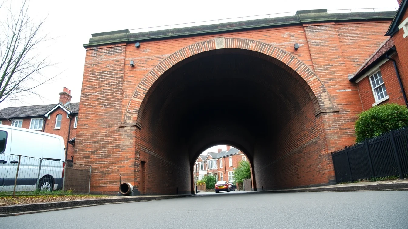
The historic town centre, including the area around the famous Stockport Market beneath the railway viaduct and the older streets of Hillgate and Vernon Street, features some of the oldest drainage infrastructure in the borough. Victorian clay pipes serving the Victorian and Edwardian terraces of Edgeley, Heaviley, and Heaton Norris are now 100 to 140 years old. These densely packed residential areas have long terrace rows sharing underground drainage, and fat accumulation, joint deterioration, and tree root intrusion are the most frequent problems encountered.
The River Mersey at Stockport has a history of flooding, and the town has invested significantly in flood management infrastructure. However, properties in the lower-lying areas near the river confluence — in Portwood, Heaton Norris, and along the valley floor — remain at elevated risk during prolonged heavy rainfall when the Mersey and its tributaries are in spate. The combined sewer network in these areas can be overwhelmed during these events, and properties with drainage discharge issues are particularly vulnerable.
Moving south and east, the character changes markedly. Bramhall, Cheadle Hulme, and Hazel Grove feature predominantly post-war and modern housing — 1950s through to recent new-builds — on firmer Cheshire sandstone and boulder clay geology. Tree root intrusion is the dominant drainage challenge here: the established gardens of Bramhall and Cheadle Hulme, many with large ornamental trees planted at the time of construction, present a persistent threat to clay and concrete pipes that are now 60 to 80 years old.
Romiley, Marple, and the areas along the Peak Forest Canal corridor to the east have their own character — mixed Victorian and interwar housing with the canal potentially influencing groundwater alongside canal-side properties. The elevated position of these eastern areas provides good natural drainage gradients, but the rainfall totals are higher here given proximity to the Pennine fringe.